Slow Paddy Buckley – 5th-8th July ’18

[vc_row row_type=”row” use_row_as_full_screen_section=”no” type=”full_width” text_align=”left” background_animation=”none” css_animation=””][vc_column][vc_empty_space][vc_column_text]The Paddy Buckley Round, climbing 47 peaks across Eryri over 61 miles, is known for being somewhat gnarlier than its more famous Lake District cousin, the Bob Graham Round.

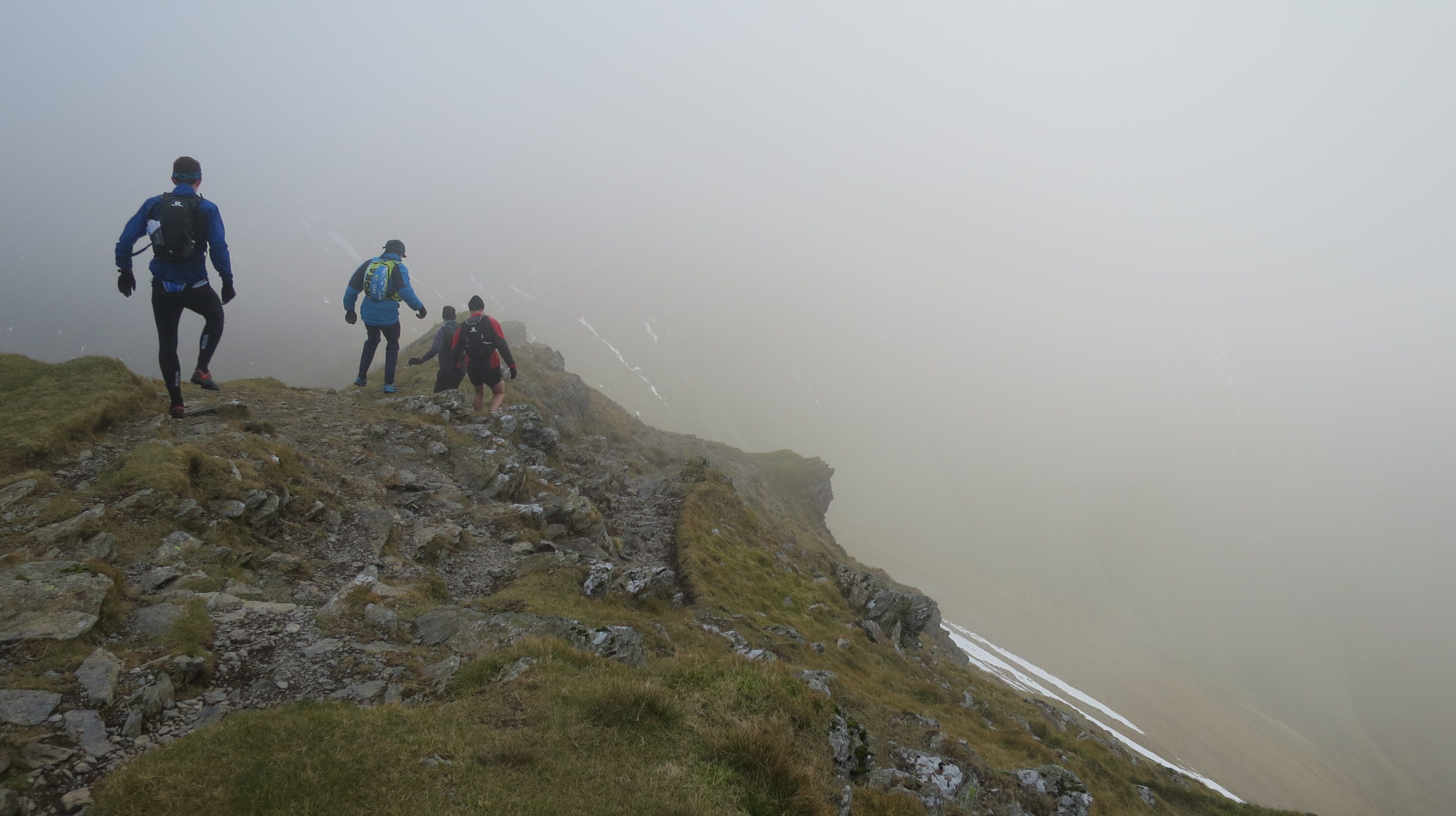
The Paddy Buckley Round proper is to be completed in under 24hours, a great feat of running. This year, members of MDC are planning to do the round, but taking it a bit easier. It’ll be over three days, running in the daytime in small groups – averaging about 20miles + 3km of climb per day.


The plan is to head up on Thurs eve 5th July, run it over three days, and finish on Sunday eve 8th July.

Friday – Capel Curig -> Nantmor

Saturday – Nantmor -> Llanberis

Sunday – Llanberis -> Capel Curig

If you’re keen to join, message Oliver Lamford on facebook.

Slow Paddy Buckley

loading map - please wait...

Thursday - Gwydyr Hut: 53.092703, -3.887980
Friday camp - option A: 52.984669, -4.059749
Friday camp - option B: 52.997914, -4.045651
Saturday - Pete\'s Eats: 53.121796, -4.127383
Saturday - camp option C - campsite: 53.114191, -4.133220
Saturday - camp option D - hill: 53.101780, -4.135709
marker icon
icon-car.png
Thursday - Gwydyr Hut
Capel Curig Wales, United Kingdom
marker icon
icon-car.png
Friday camp - option A
Nantmor Wales, United Kingdom
marker icon
icon-car.png
Friday camp - option B
Nantmor Wales, United Kingdom
marker icon
icon-car.png
Saturday - Pete's Eats
Llanberis Wales, United Kingdom
marker icon
icon-car.png
Saturday - camp option C - campsite
Llanberis Wales, United Kingdom
marker icon
icon-car.png
Saturday - camp option D - hill
Llanberis Wales, United Kingdom


PBR info and a 24hr schedule here: www.gofar.org.uk/paddybuckleyround.html[/vc_column_text][/vc_column][/vc_row][vc_row row_type=”row” use_row_as_full_screen_section=”no” type=”full_width” text_align=”left” background_animation=”none” css_animation=””][vc_column][vc_empty_space][vc_single_image image=”856″ img_size=”large” qode_css_animation=””][vc_empty_space][vc_single_image image=”857″ img_size=”large” qode_css_animation=””][vc_empty_space][vc_column_text]

Route, courtesy of Wikipedia

Below is a list of the summits to be visited, in a clockwise direction, if starting from Llanberis.

Summit Grid reference Altitude/m Approximate cumulative distance/km
Llanberis SH582598 105 0
1 Elidir Fach SH603613 795 3
2 Elidir Fawr SH612613 924 4
3 Mynydd Perfedd SH623619 812 6
4 Foel Goch SH628611 831 7
5 Y Garn SH630595 947 8
6 Glyder Fawr SH642579 999 11
7 Glyder Fach SH656582 994 12
8 Tryfan SH664593 917 14
Ogwen Cottage SH649603 300 16
9 Pen yr Ole Wen SH655619 978 18
10 Carnedd Dafydd SH663630 1044 18
11 Carnedd Llewelyn SH683643 1064 23
12 Pen yr Helgi Du SH698630 833 25
13 Pen Llithrig y Wrach SH716623 799 27
Capel Curig SH721582 200 32
14 Carnedd Moel Siabod SH705546 872 36
15 Clogwyn Bwlch-y-maen SH679542 548 39
16 Carnedd y Cribau SH676536 591 40
17 Cerrig Cochion SH662510 550 43
18 Moel Meirch SH661502 607 44
19 Ysgafell Wen SH664487 650 46
20 Mynydd Llynnau’r Cwn SH663485 669 46
21 Three Tops SH667481 672 47
22 Moel Druman SH671476 676 47
23 Allt-fawr SH681474 698 48
Bwlch Cwmorthin SH665462 470 51
24 Foel Ddu SH669459 458 52
25 Moel-yr-hydd SH672454 648 52
26 Moelwyn Bach SH660437 710 55
27 Craigysgafn SH659444 689 55
28 Moelwyn Mawr SH658448 770 56
29 Cnicht SH645466 689 60
Aberglaslyn SH594462 5 67
30 Bryn Banog SH576457 529 70
31 Moel Hebog SH564469 782 72
32 Moel yr Ogof SH556478 655 73
33 Moel Lefn SH553485 638 74
34 Y Gyrn SH552500 452 76
35 Mynydd-y-Ddwy-elor SH549504 466 76
36 Trum y Ddysgl SH544516 709 78
37 Mynydd Drws-y-coed SH548518 695 78
38 Y Garn SH551526 633 79
Rhyd-Ddu SH570525 190 82
39 Craig Wen SH597508 608 86
40 Yr Aran SH604515 747 87
41 Cribau Tregalan SH605536 931 90
42 Snowdon SH609543 1085 91
43 Garnedd Ugain SH610551 1065 92
44 Moel Cynghorion SH586563 674 95
45 Foel Goch SH570563 605 97
46 Foel Gron SH563565 629 98
47 Moel Eilio SH556577 726 99
Llanberis SH582598 105 104

[/vc_column_text][vc_empty_space][/vc_column][/vc_row]

Comments

comments

from to
Scheduled
Snowdonia Map
July 4, 2018 9:50 pm 16 °C Clear sky iconClear sky